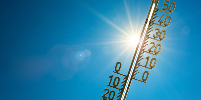
Thunderstorms, hail, storm… Is the weather in March out of whack? This is the question that La Chaîne Météo asked itself in the face of large temperature differences and phenomena worthy of the month of June. “This winter was also characterized by an astonishing alternation of cold fortnights and very mild fortnights due to these ripples in the jet stream”, analyzes the site specializing in meteorology.
The jet stram, or jet current, corresponds to the winds that circulate around the planet from west to east. “True engine of the climate of the northern hemisphere, it is formed by the difference between the two main air masses which oppose each other: polar air and subtropical air”, explains the forecaster.
After a very early heat peak on Monday March 13, during which the thermometer reached more than 25°C in the southwest, temperatures fell again in the middle of the week. Only here: “a new increase will occur Thursday afternoon, after a still fresh morning”, indicates La Chaîne Météo.
The mercury will indeed rise sharply, and the heat threshold, estimated at 25°C, will be reached in Gironde, in the Landes and in the Pyrénées-Atlantiques. “In general, count on 15 and 20°C in the central regions and the Paris basin, a spring air that some will appreciate. These temperatures will be 7 to 10°C above seasonal averages after noon”, concludes the forecaster.
A sweetness that will always be present, to a lesser extent, on Friday afternoon. In our slideshow below, discover the departments where it will be over 20°C*.
*The information provided is based on Météo France forecasts for March 16, 2023 at noon and is subject to change.


