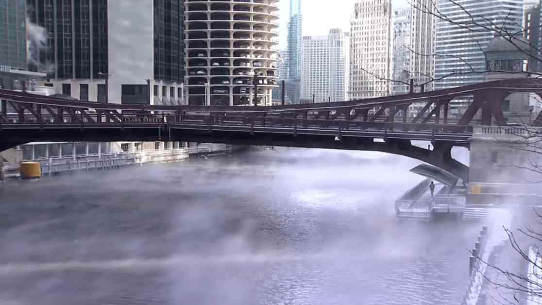
Temperatures in the Chicago area have been a bit above normal to start the month of January, but that pattern will not hold as frigid readings could stick around for a lengthy stretch.
According to the National Weather Service, Chicago is entering into the stretch of time with its coldest average highs of the year, with readings expected to be right around the freezing mark for most of the month. The average low temperatures through the month of January vary slightly more, often settling into the upper-teens or the low-20s, according to NWS data.
### Frigid Forecast Ahead
Beginning Friday, temperatures will drop into the low-20s during afternoon hours, and breezy conditions are also expected to develop, sending wind chills into the low-teens across the area. Overnight Friday and into Saturday, temperatures will drop into the low-teens or even the single-digits across the area, with wind chills dipping below zero.
Saturday and Sunday will continue to see below-average temperatures, with readings in the low-20s, and snowfall is possible on Sunday, especially south of Interstate 80, according to forecast models.
### Extended Cold Snap
Meanwhile, the cold weather will continue across the Chicago area, with highs briefly rising into the upper-20s to start the new work week but then quickly retreating back into the low-20s. Nightly lows are expected to be on the chilly side as well, in the upper single-digits or the low-teens across the area. The Climate Prediction Center is leaning toward the cold weather continuing even beyond next week as well.
According to the National Weather Service, the jet stream will be centered over the central and southern United States, allowing for cold air to flow into the region from Canada, and the jet stream will remain stuck in place for a length period of time. Below-freezing temperatures could even occur along the Gulf Coast and into Florida, according to officials.
### Uncertain Precipitation Outlook
As for precipitation, that’s a bit more up in the air, according to the Climate Prediction Center. The CPC is leaning toward below-normal levels of precipitation through the first half of January, though this weekend’s snowstorm across central and southern Illinois could change that calculation in those areas. The CPC gives about equal chances of above or below-normal precipitation through the end of January.
In a typical January, the city of Chicago sees approximately 11 inches of snow, making it the snowiest month of the year, according to NWS historic data.
As we brace ourselves for the upcoming cold weather, let’s remember to check on our neighbors, especially the elderly or vulnerable members of our community. A simple act of kindness, like shoveling a neighbor’s driveway or offering a warm meal, can go a long way during these harsh winter conditions. Stay safe and stay warm, Chicago!


