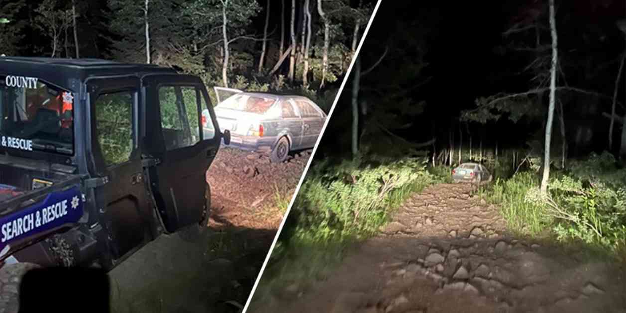
A driver in Utah found himself stranded on a mountain after he followed a Google Maps shortcut that led him to a rough dirt road, according to officials. The Wasatch County Search and Rescue team received a 911 call around 12:40 a.m. on July 4 from the stranded driver, a 23-year-old man. He explained that his Toyota Tercel was stuck on the west side of Strawberry Peak, which is approximately 100 miles southeast of Salt Lake City.
The driver recounted to the rescue crews that he ended up on the rocky dirt road after taking a shortcut recommended by Google Maps between Springville and Vernal, Utah, which are roughly 167 miles apart. Google spokesperson mentioned that safety is a priority and they strive to guide drivers on paved roads whenever possible. While they have not identified a route on Maps that leads to that specific location yet, they are willing to make any necessary updates to ensure accurate routing for local drivers.
Fortunately, the driver did not sustain any injuries but needed assistance getting off the mountain. This incident highlights the importance of staying cautious when relying on navigation apps and always being prepared for unexpected circumstances when venturing into unfamiliar areas.
It’s crucial for drivers to exercise judgment and common sense when following GPS directions, especially in remote or challenging terrains. In addition to technological guidance, it’s advisable to have a paper map, emergency supplies, and a fully charged phone when embarking on road trips to mitigate risks and handle unforeseen events effectively.
Remember, technology can be a helpful tool, but it’s essential to use it wisely and combine it with traditional navigation methods to ensure a safe and smooth journey. Stay informed, stay prepared, and stay safe on the road!


