Extreme Winds Forecasted to Hit Southern California: Why Forecasters Are Alarmed
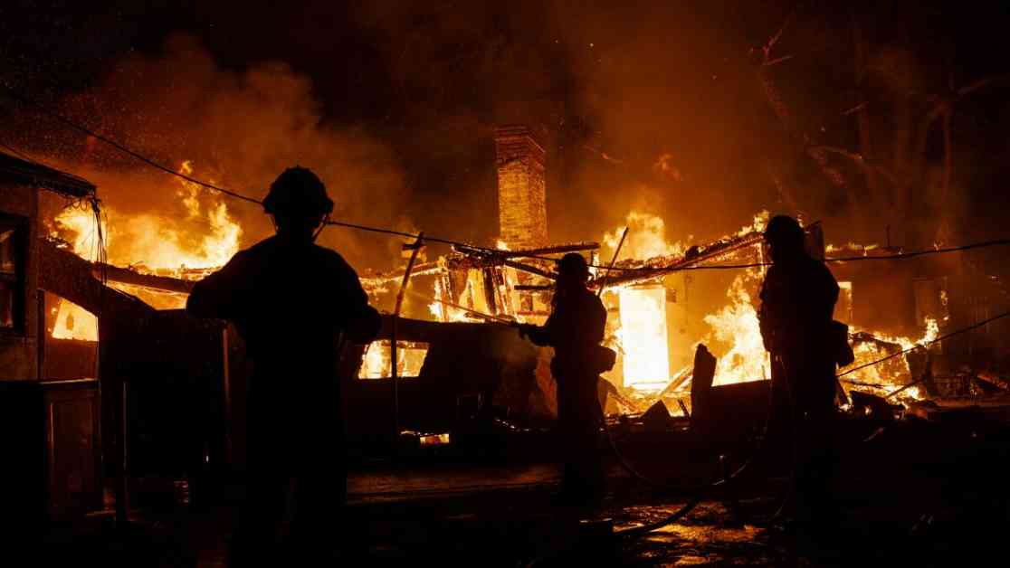
An unprecedented fourth “particularly dangerous situation” fire weather warning is expected to take effect Tuesday morning and last through Wednesday, as per the National Weather Service. This designation is reserved for extreme red flag warnings, signifying especially hazardous fire weather conditions. The concern stems from the potential for devastating wildfires, given the history of destructive blazes during previous warnings this season.
The National Weather Service office in Oxnard, covering L.A., Ventura, Santa Barbara, and San Luis Obispo counties, adopted the “particularly dangerous situation” tag in 2020 to highlight the most extreme fire weather conditions. Meteorologist Ryan Kittell explained that this designation aims to emphasize the severity of the situation, distinguishing it from standard red flag warnings. The warning period is set to begin at 4 a.m. Tuesday and extend through noon Wednesday for portions of Los Angeles and Ventura counties.
Areas expected to be impacted include Camarillo, Fillmore, Northridge, Simi Valley, and Thousand Oaks. The forecast anticipates peak wind gusts reaching up to 59 mph in Thousand Oaks, posing a significant risk for fire spread and rapid growth if ignited. While these winds are expected to be slightly weaker than last week’s historic windstorms, they remain a cause for concern, especially in Ventura County.
### Concerns and Precautions
Meteorologist Alex Tardy highlighted the rarity of the current weather conditions, with multiple Santa Ana wind events occurring back-to-back in Southern California. These events are exacerbating the extreme fire risk due to exceptionally dry conditions in the region. The lack of significant rainfall since May has left vegetation vulnerable, increasing the likelihood of wildfires spreading rapidly.
### Relief on the Horizon?
Despite the challenging forecast, there is a glimmer of hope for improving conditions starting Wednesday night. Winds are expected to shift from the ocean, bringing increased humidity that could aid firefighting efforts. However, this relief may be short-lived, as indications suggest another Santa Ana wind event could develop by Sunday and Monday, potentially reigniting fire concerns.
In the midst of these weather challenges, the community is urged to remain vigilant and prepared for any rapid changes in fire behavior. While forecasters are working tirelessly to monitor and predict the evolving conditions, the unpredictable nature of wildfires underscores the need for proactive safety measures and readiness among residents.
As we navigate these critical weather conditions, it is essential to prioritize safety, follow official guidance, and stay informed about local developments. By coming together as a community and supporting one another, we can better protect ourselves and our environment during these challenging times. Stay safe, stay prepared, and stay informed as we face the impact of extreme winds in Southern California.


