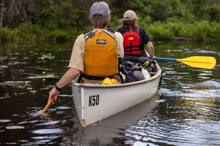
The official launch of The Blue Route took place last year, but it is this year that it is really taking shape.
Just in Montérégie, paddlers can now choose between 26 new courses on the Richelieu and Châteauguay rivers, the Soulanges canal and the Chambly canal, Lake Saint-Louis and even the Saint-Laurent river. We are talking about a total distance of 230 kilometers.
“A third of the new routes on La Route bleue are in Montérégie,” enthuses Anick Bribosia, from Loisir et Sport Montérégie. Next year, we should reach a total of 41 courses. We worked hard to get there. »
In the MRC of Nicolet-Yamaska, we have just celebrated the opening of six beginner and intermediate level courses on the Nicolet and Saint-François rivers.
“We have the privilege of being next to the Lake Saint-Pierre World Biosphere Reserve,” underlines the prefect of the MRC of Nicolet-Yamaska, Geneviève Dubois. We will be able to paddle there. »
In the Magdalen Islands, there is a route coming up from Gros-Cap Park which will allow you to explore caves.
“Last year, we officially launched La Route Bleue with around ten routes,” says Chahaya Saleha, La Route Bleue project officer at Canot Kayak Québec. It was an appetizer. This year, we have 75 added to the network. So, it’s progressing quickly. »
Originally, La Route Bleue was to be a navigable route all along the St. Lawrence aimed primarily at experienced kayakers. Canot Kayak Québec has rectified the situation. The current project is rather a network of paddling routes for paddlers of all levels, in all regions of Quebec, routes that emanate from the regions themselves.
The Canot Kayak Québec team has already completed 2,500 kilometers of routes in the province. For the moment, we are mainly talking about half-day to full-day courses, but in a second phase, Canot Kayak Québec would like to see more expedition courses.
In the case of Montérégie, we mainly seek to supervise the practice. With the democratization of the outdoors, it is now easy to buy a boat, but new enthusiasts do not necessarily have good knowledge of the conditions of practice.
“We go to Costco, we come out with our paddleboard and we want to use it right away,” says Anick Bribosia. “It’s perfect, it achieves our goal, which is to get people moving, but we want to get to the waterways before them to supervise this practice.”
You should not rely on applications or Facebook pages to know where to put the boat in the water, at the risk of landing on someone’s private land. “We have to tell them that the starting point is in this place, the arrival point in another place, the emergency exits there and there. »
Montérégie also wanted to identify fragile environments where one should not pass, such as fish spawning grounds, seagrass beds or rare bird nesting areas.
The development of a La Route Bleue route obviously includes signage on the ground, but the bulk of the work can be found on the La Route Bleue website.
An interactive map allows you to visualize the routes in the different regions, the access points and where to park your car.
It is also indicated whether it is possible to rent a boat and whether local companies offer guided hikes.
“We can also discover attractions, small restaurants, places where we can stop for a drink,” notes Geneviève Dubois. There is a whole life around the nautical course. It will improve the tourist offer that we already have, it will allow us to keep people who were perhaps only passing through for a day, but who, with these new routes, might want to stay for a few days. . »


