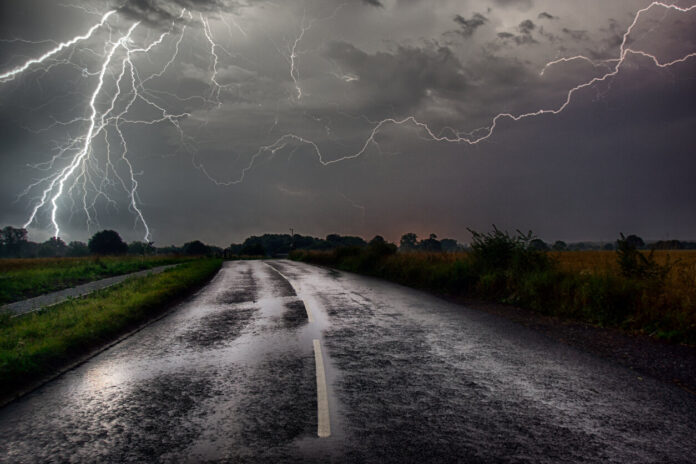
A France cut in two. For the past few days, the sky has revealed several facets. In the north, the weather is summery, with pleasant temperatures and fine clearings. In the south, rain and thunderstorms have punctuated the days since last weekend. According to La Chaîne Météo, “these are daytime thunderstorms, which develop with the heat of the afternoon and calm down at night. They mainly break out on the reliefs because the mountains accentuate the necessary updrafts to the formation of thunderstorms”.
In the afternoon of Thursday May 25, 2023, the storms will redouble in force over the Pyrenees. Rainfall accumulations of 30 to 50 mm are expected, so that runoff could cause flooding of mountain torrents. “A fairly rapid lull will generalize in the evening of Thursday, signing the end of this episode”, specifies the forecaster. The latter will be accompanied by a rise in temperatures, since the 25°C mark could be reached in most of France, and for the first time this season in the north-west of France.
For its part, Météo-France reports a “persistent risk of thunderstorms in the south (…) with less mobile thunderstorms that can give occasional intense rains”. In this sense, 17 departments are still under a yellow storm weather watch. Find out which ones in our slideshow below, along with associated times*.
*The information provided in the slideshow is based on the meteorological vigilance bulletin from Météo-France on Thursday May 25, 2023 at ten o’clock in the morning and is subject to change. The data is valid until Friday, May 26 at midnight.


